
Marine Stations
Wind, Wave, Swell and Temperature Data
Marine Weather - Environment Canada
GALE WARNING IN EFFECT
Wind easterly 25 to 35 knots becoming easterly 20 to 30 this
afternoon except variable 5 to 15 northwest of Estevan Point. Wind
becoming northeast 15 to 25 this evening then diminishing to
variable 5 to 15 Monday morning. Wind becoming northwest 10 to 20
Monday afternoon then becoming northwest 5 to 15 Monday evening
except northwest 20 to 30 northwest of Estevan Point. Showers ending
Monday morning.
Seas 3 to 4 metres subsiding to 2 to 3 this morning and to 1 to 2
near midnight.
Tuesday. Wind northwest 15 to 25 knots increasing to northwest 30 in
the morning then diminishing to northwest 20 in the afternoon.
Wednesday. Wind northwest 15 knots diminishing to light.
Thursday. Wind north 5 to 15 knots becoming variable 5 to 15.
The next scheduled forecast will be issued at 4:00 p.m. PDT.
Aviation Weather - Tofino Airport (CYAZ)
Tidal Prediction and Lunar Phase
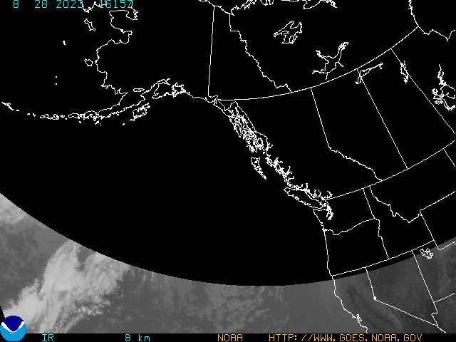
Infrared - North Pacific
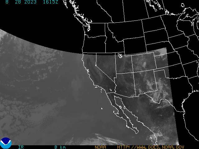
Infrared - West Coast
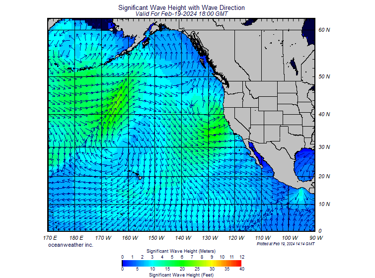
Ocean Swell - Wave Height
Latest Earthquake and Tsunami Event


